
Geotechnical and Natural Hazards
We offer comprehensive technological solutions for the identification, evaluation, and continuous monitoring of geotechnical risks and natural hazards. Our preventive approach combines high-precision instrumentation and automated networks to protect communities, the environment, and vital infrastructure. We design and implement emergency management systems, ensuring timely response and informed decision-making in the face of extreme weather events, adverse geological dynamics, and terrain vulnerabilities.

Our Services
Experts in the continuous evaluation and monitoring of natural threats. We implement cutting-edge technology to anticipate landslides, control water basins, and protect essential infrastructure through automated networks and immediate alert systems.
Landslides and instability
Monitoring of slopes, natural embankments, and geological risk zones.
Floods and water management
Levels, flows, and flood alerts.
Critical infrastructure
Bridges, dams, and essential infrastructure at risk.
Early warnings
Automated systems, telemetry, and real-time notifications

Do you have a project in mind?
Let's talk and find the best solution for your monitoring challenges.
More information
Specialized Consulting

High-Quality Equipment
%201.svg)
Tailored Solutions
Business Areas
Natural Disaster Prevention
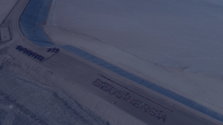
Continuous monitoring of slopes and watersheds to anticipate and mitigate the impact of landslides, mudslides, and floods.
- Slopes and natural embankments
- Basins, rivers, and waterways
- Communities and populations at risk
Infrastructure Resilience
Monitoring of vital and strategic infrastructure exposed to severe geological, seismic, or climatic threats.
- Bridges and road network
- Dams and reservoirs
- Mitigation and containment works
Early Warning Systems (EWS)
Comprehensive development of sensor networks and immediate alert platforms for operational emergency management.
- Emergency control centers
- Exclusion zones and vulnerable areas
- Industrial and mining operations at risk from natural hazards

Landslides and instability
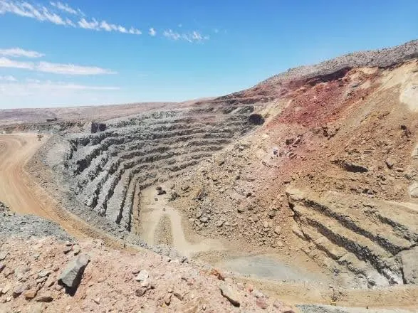
We implement continuous monitoring systems on slopes, natural embankments, and high geological risk zones. We evaluate ground kinematics and the instability of soil or rock masses to detect anomalous movements early, preventing landslides, mudslides, and rockfalls that could affect vulnerable areas.
- Deep and surface instrumentation (inclinometers, extensometers, and prisms).
- Topographic monitoring and radar scanning for stability control.
- Real-time analysis of ground deformations and movement rates.
Floods and Water Management

We deploy control networks for hydrological and meteorological monitoring in the face of adverse weather events. We continuously measure water levels, flows, and precipitation for efficient basin management, preventing overflows and minimizing the impact of floods on communities and operations.
- Ultrasonic/radar level sensors and automated flow measurement.
- Networks of autonomous meteorological and hydrological stations.
- Software for visualization and historical recording of hydrological variables.
Critical Infrastructure
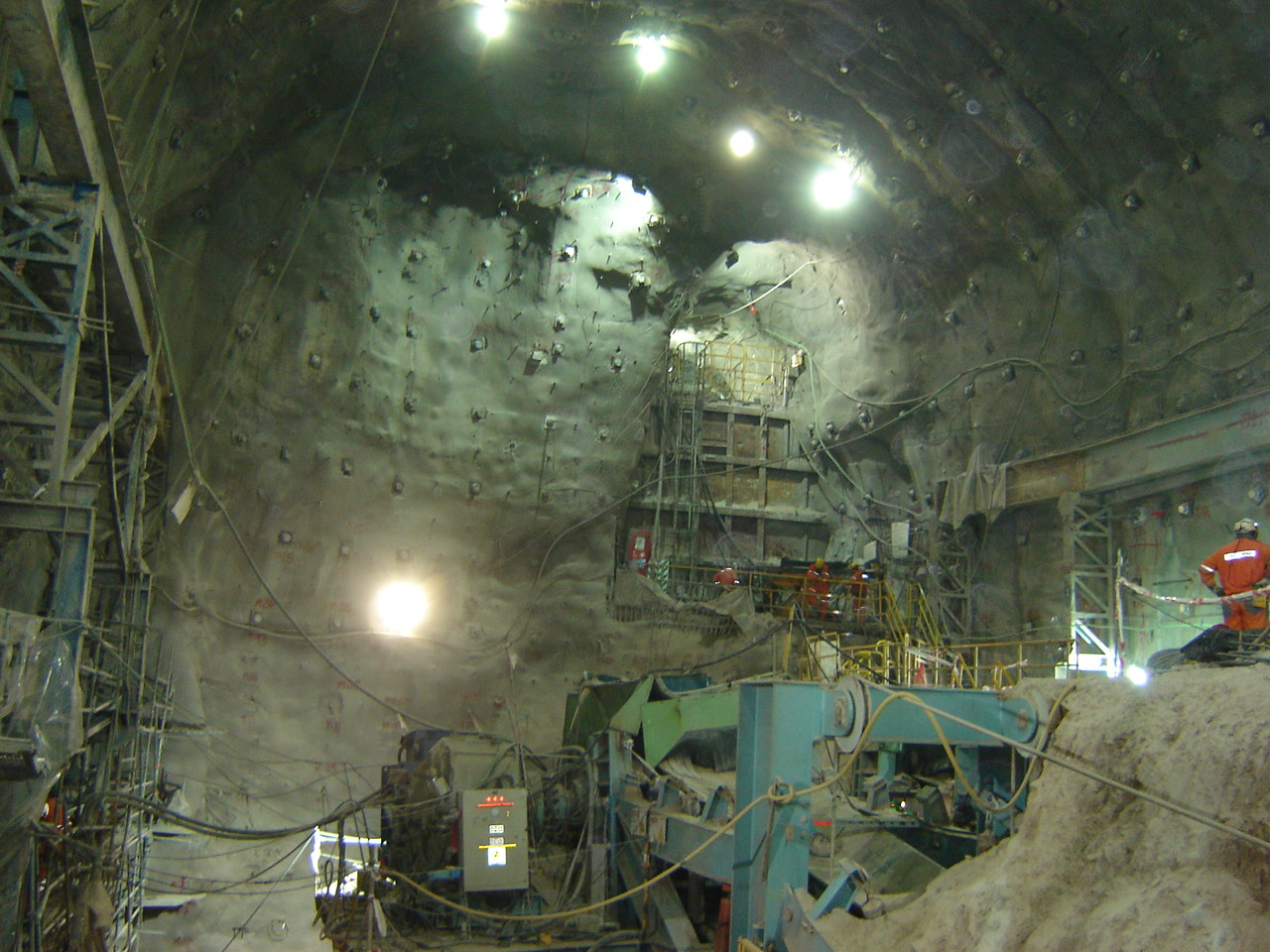
We assess vulnerability and safeguard the integrity of essential infrastructure exposed to natural threats. We provide continuous structural and geotechnical monitoring for bridges, dams, roads, and vital lifelines, ensuring their stability and safe operation even under extreme environmental and hydrological conditions.
- Structural health monitoring for bridges, viaducts, and culverts.
- Specific instrumentation for dams, tailings, and retaining walls.
- Continuous assessment of scour and stability in critical foundations.
Early Warnings
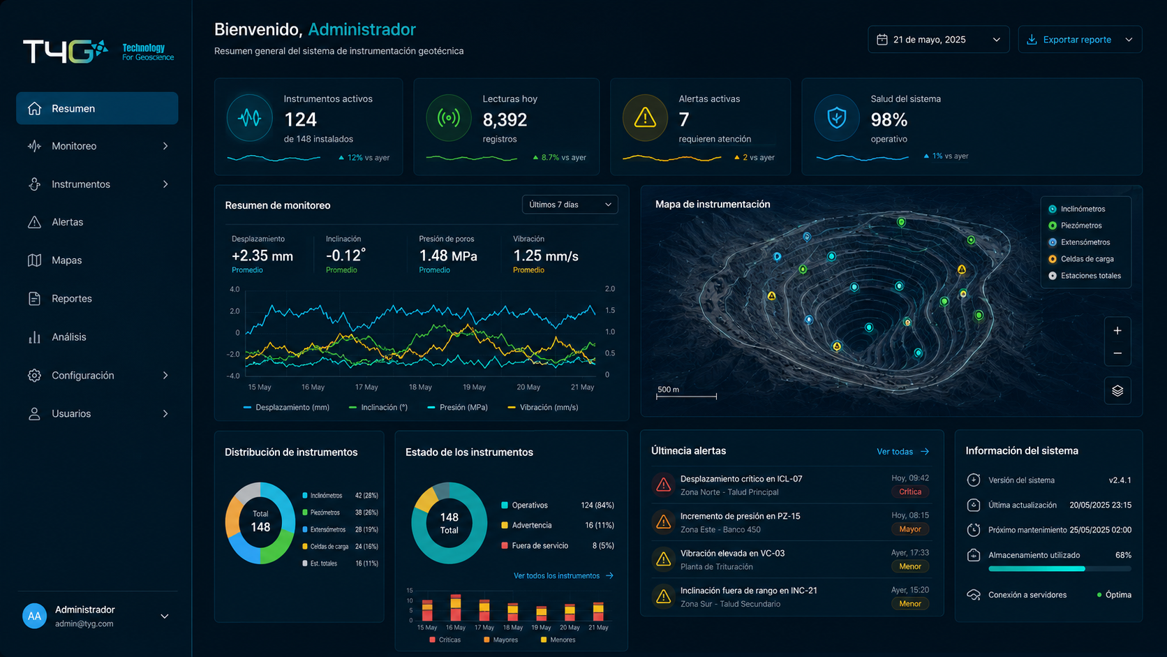
We design and integrate robust, high-availability Early Warning Systems (EWS). We combine field data capture with analysis platforms to issue automated, immediate alerts when critical thresholds are exceeded, facilitating evacuation and the activation of emergency protocols in the face of imminent natural hazards.
- Integration of IoT sensors with redundant telemetry (satellite/cellular).
- Web platforms with automated multi-channel alarms (SMS, email, sirens, beacons).
- Definition of risk thresholds and configuration of immediate response logic.
Key Differentiators
Specialization in implementing Early Warning Systems (EWS) for civil and industrial protection.
Flexible deliverables, adapting telemetry technologies to the topography and risk level of the environment.
Ongoing managerial involvement and technical support in projects of high criticality and public exposure.
Continuous innovation in autonomous equipment and environmental and geotechnical monitoring platforms.
Suscríbete a nuestro
boletín informativo
Receive news, events, and technical content on monitoring and instrumentation in critical projects.
Thank you! We have received your submission!
Oops! Something went wrong when submitting the form.
Technical information. No spam. One-click unsubscribe.





(+55) 31 9 9702-2762

Rua São Miguel, 479 - Itapoã,
Belo Horizonte, Minas Gerais
vendas@geosinergia.com.brBelo Horizonte, Minas Gerais

CERTIFICATIONS
✓ ISO 9001 — Quality management
✓ ISO 14001 — Environmental management
✓ ISO 45001 — Occupational health and safety
